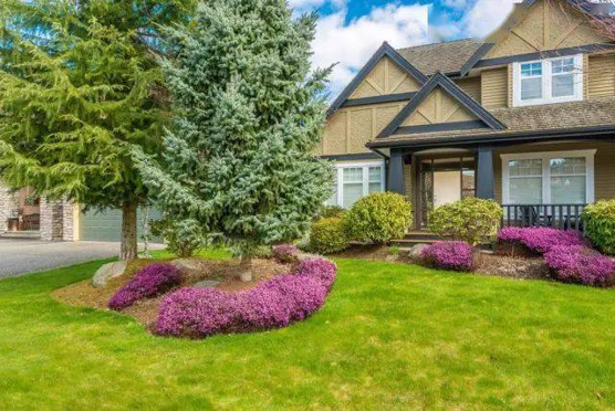
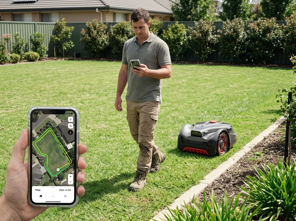
A robot mower can glide across your lawn without any boundary wire buried in the dirt. You don't have to dig trenches or deal with installation headaches. The mower uses cameras to see where it's going. That's possible because of VSLAM, or visual simultaneous localization and mapping. This technology lets the mower build a live map of your yard using only cameras and smart algorithms. When you compare wire-free mowers to ones with boundary wires or GPS-based systems, VSLAM is what makes the difference.
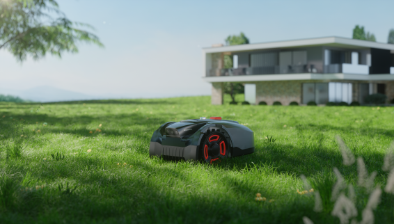
What Is VSLAM and How Does It Work?
Visual simultaneous localization and mapping is a technique that lets a machine figure out where it is while drawing a map of the space around it. Think of a robot mower doing two jobs at once: tracking its own position and sketching out your yard's layout, all in real time. Neither task happens first—they happen together, and that's why the "simultaneous" part matters.
This isn't a single algorithm. It's a whole category of methods engineers use to solve the localization-and-mapping problem together. What makes VSLAM "visual" is its reliance on cameras—monocular, stereo, or RGB-D—rather than laser sensors like LiDAR. That distinction shapes everything about how a robot mower camera navigation system behaves in your backyard.
How the Process Works
Breaking VSLAM into steps makes it easier to grasp:
Image capture: As the mower rolls across your lawn, its onboard cameras continuously snap images of fences, trees, garden beds, whatever's out there.
Feature extraction and tracking: The system picks out identifiable details in each frame—corners of a patio, edges of a flower bed, texture patterns in the grass or pavement. These become reference points the mower tracks from one frame to the next.
Pose estimation: By comparing how those features shift between frames, the algorithm calculates the mower's position and orientation. This is the "localization" half of VSLAM.
Map building: At the same time, the system uses those tracked features to construct a 3D representation of your yard. This is the "mapping" half, and it happens in parallel with localization.
Trajectory optimization: Small errors accumulate as the mower moves. To fix this, VSLAM systems periodically refine the path and map using a technique called loop closure—recognizing a spot it's seen before and using that to correct drift.
Relocalization: If the mower loses track of its position (maybe it got picked up or the camera view was blocked), it can recover by matching what it currently sees against the map it already built.
This pipeline follows a pattern of initialization, tracking, and mapping, and it often relies on well-established feature detection methods like ORB, SIFT, SURF, or FAST9 to identify trackable points in each image.
Why Cameras Instead of Lasers?
You might wonder why smart lawn mower mapping technology uses cameras rather than LiDAR, which is common in some robotics applications. Camera-based systems tend to be cheaper to manufacture, lighter in weight, and capable of capturing richer visual detail—things like color, texture, and shape that a laser can't detect.
For a wire-free robot mower, this matters. Cameras let the machine understand its surroundings almost the way a person would: recognizing that a patch of shadow is just shadow, not an obstacle, or that a garden hose lying in the grass is something to steer around. This contextual awareness feeds directly into robot mower obstacle detection, helping the mower distinguish between a solid fence post and a temporary lawn chair.
The Two Outputs That Matter
Every VSLAM system produces two things:
A trajectory or pose estimate, essentially "here's where I am and which way I'm facing."
A map of the environment, "here's what the space around me looks like."
For a mower, this pairing makes autonomous mower mapping possible without a single wire buried anywhere. The machine builds spatial awareness and uses that awareness to plan where to cut next.
VSLAM equals camera-based localization plus mapping, happening at the same time. That explains why an AI lawn mower navigation system built on this technology can adapt to irregular lawn shapes, navigate around new obstacles, and update its understanding of your yard as things change—something much harder to achieve with fixed boundary wires or satellite-based positioning alone.
How Does VSLAM Help a Robot Lawn Mower Navigate?
Ten frames a second—that's roughly how fast a modern VSLAM-powered mower reads its surroundings. Each frame feeds a live decision-making process that turns raw pixels into a path across your lawn. Here's what happens under the hood as the mower moves.
Seeing the Yard in Real Time
The mower's cameras do more than look. Depending on the model, the navigation system uses either a single monocular lens or a stereo pair of cameras. Stereo setups tend to perform better because two lenses can triangulate distance the same way human eyes do.
That triangulation matters for precision. Some stereo-equipped mowers achieve millimeter-level distance measurement combined with megapixel-resolution imaging. In practical terms, that's sharp enough to tell a low garden ornament from a shallow dip in the terrain—two things a simple sensor might confuse.
Building the Map While Moving
This is where the "simultaneous" part of VSLAM earns its name. As the mower travels, it processes up to 10 images per second, using each one to update its internal map and recalculate its own position at the same time.
Speed alone doesn't guarantee accuracy, though. Shade from trees, nearby structures, or weak satellite reception can all disrupt positioning systems that lean on GPS. That's exactly where computer vision lawn mower systems have an edge. When satellite signals drop or shadows fall across the yard, VSLAM can take over positioning duties on its own. Manufacturers of some models claim their systems still hold centimeter-level accuracy even under these conditions. That level of consistency is often highlighted in boundary wire vs camera mower comparisons in favor of vision-based systems.
Turning Vision Into Smart Path Planning
Raw location data is only half the story. The mower also needs to decide where it's safe to cut. VSLAM handles this by sorting the visual field into three categories: obstacles, already-mapped terrain, and open passable ground. Instead of bumping into things and reversing course like older bump-and-turn mowers, it plans ahead based on what it already knows about the yard.
AI-based object detection strengthens this further. Combined with VSLAM, it helps the mower recognize specific things in its path: trees, flower beds, garden furniture, pedestrians, even a stray toy left on the grass. When something unexpected shows up, the system recalculates the route on the fly rather than stopping cold or forcing a collision.
Academic testing backs up how well this works in practice. One study used two RGB-D cameras paired with an inertial measurement unit (IMU) and VSLAM to test a mowing robot in a simulated orchard environment. The result was a position error of just 0.30 meters, with the robot avoiding every obstacle in its path. That's a meaningful data point for anyone wondering whether wire-free robot mower navigation can hold up in real-world, obstacle-dense settings, not just open flat lawns.
Why This Beats Wire-Based Navigation for Daily Use
Traditional boundary wire systems work by having the mower detect a buried physical loop through an induction sensor. It's a stable, simple approach. But every layout change means digging up wire again.
VSLAM-based navigation skips that step. Because the map lives in software, not in the ground, you can adjust:
Multiple zone maps for different sections of the yard
No-go zones around flower beds, ponds, or play areas
Boundaries on the fly without a shovel in sight
This flexibility is a major reason smart lawn mower mapping technology has gained ground over older wire-based setups. It turns navigation into something you edit from an app, not something you bury in the dirt.
What Are the Benefits of VSLAM for Wire-Free Robot Lawn Mowing?
Five minutes. That's roughly how long it takes to set up a wire-free robot mower using VSLAM—walk or drive the perimeter once through an app, and the map saves permanently. The hours it takes to dig trenches and bury boundary wire make the difference clear.
No Trenching, No Wire Failures, No Recurring Repairs
Buried wire systems come with a hidden cost: maintenance. Wire breaks happen. Roots grow, shovels slip, and lawn edging shifts things underground. Every break means troubleshooting a hidden fault line, sometimes digging up sections just to find the problem.
VSLAM sidesteps all of that. Since boundaries live in software instead of soil, you get no trenching required at install, no wire or antenna to maintain, and no recurring repair cost when something in the yard shifts. If you redo your landscaping, moving a flower bed or adding a patio, you just update the map in the app. No shovel needed.
Better Performance in Complex, Shaded Yards
RTK-based systems rely on satellite signals, and those signals weaken under tree cover or near structures that block the sky. Open lawns are RTK's strength. Shaded, tree-covered, visually cluttered yards are where VSLAM takes over. RTK works best in open areas; VSLAM becomes essential for accurate positioning once shadows and obstructions enter the picture.
This matters for anyone with mature trees, garden structures, or a yard that isn't a clean rectangle. VSLAM was built for that kind of complexity.
Sensor Fusion Pushes Accuracy Further
AI lawn mower navigation systems now blend multiple methods. Pairing VSLAM with RTK, LiDAR, and IMU or wheel odometry covers each technology's blind spots. Some hybrid models advertise centimeter-level positioning without any boundary wire or RTK base station at all, citing "stable navigation day and night" through combined nRTK and VSLAM 2.0 systems.
Smarter Obstacle Recognition
Camera-based VSLAM tracks position, distinguishes grass from non-grass, spots pets, toys, and furniture, and adjusts course accordingly. That's a meaningful upgrade over basic boundary-following logic.
One Trade-Off Worth Knowing
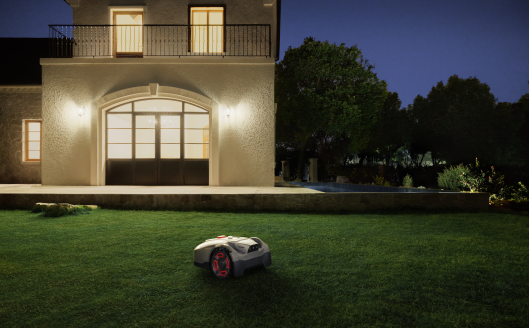
VSLAM depends on visual input, so it performs best in usable light. LiDAR works in total darkness; RTK favors open sky. For most dynamic residential yards, though, VSLAM remains the more practical fit.